These resources are arranged to support learning to effectively monitor and assess biodiversity and ecosystems across all biomes.
By combining learning from these resources with practical application of habitat and species surveying, you can build confidence in your ability to plan and undertake a range of survey techniques.
Please note that there are protections around a number of survey methods and species which require you to learn with licensed practitioners.
“Module 1” Wildlife Law
Undoubtedly an important starting point…. This is is a large area – I highly recommend the initial chapters of the FREE e-book The Thomson Ecology Handbook: A practical guide to wildlife legislation for project managers https://www.thomsonec.com/thomson-ecology-handbook/
The different regulations are laid out in an easy to read way. You will need to have a good understanding of which laws are relevant to which species, but you’ll learn these again as you study the species, so don’t stress it, just get an overall feel for the protections offered by law.
Protected species
Gov.uk guidance on protected species surveys. Each individual page will provide information on licences required to survey.
Note that alternative survey methods may be suitable in establishing presence/absence, such as footprint tunnels for Hazel dormouse or eDNA testing for Great Crested Newt.
https://www.gov.uk/guidance/protected-species-how-to-review-planning-applications
“Module 2” Field Techniques for Surveying Vegetation
Plant identification is a key skill and a very good place to start.
Types of surveys:
Phase 1 habitat surveys:
https://hub.jncc.gov.uk/assets/9578d07b-e018-4c66-9c1b-47110f14df2a
- Hedgerow Surveys
Hedgerows can be important habitats in otherwise intensively farmed landscapes. However, some hedgerows, particularly older hedgerows, may be more valuable than others.
Typically, an assessment of the species richness of the hedgerow is undertaken by counting the number of woody species within a 30m length. Hedgerow surveys should be undertaken between April and October, although surveys in April and May are ideal because any woodland ground flora species will be easily recorded.
https://www.gov.uk/government/publications/hedgerow-survey-handbook
- Plant communities: When the desk study or Phase 1 habitat survey indicates that an important vegetation community is present on the development site, it may be recommended that this is assessed in further detail. The National Vegetation Classification (NVC) survey technique is the standard method for this type of assessment in Britain but not Ireland. https://jncc.gov.uk/our-work/terrestrial-habitat-classification-schemes/It allows plant communities to be classified in accordance with published accounts which have been used in the designation of SSSIs and SACs. A direct comparison can be made using this technique with the vegetation communities found on the development site and those considered to be of national or European importance. NVC surveys should be undertaken between April and September.
There are courses for plant identification – I’d recommend Identiplant, which teaches you how to use a key and to learn about seasonality and habitat of plants through the practical delivery of the course. Oh – It’s online: https://identiplant.co.uk/identwp19/how-much-does-it-cost-and-what-do-i-need/It’s £300 as a standard fee, but reduced to £100 for volunteers.
The Species Recovery Trust have some fabulous free resources and they produce an outstanding i.d. guide in their shop, too. https://www.speciesrecoverytrust.org.uk/resources
You NEED The Wild Flower Key, Francis Rose
https://www.abebooks.co.uk/Wild-Flower-Key-Revised-Edition-identify/30599891744/bd
“Module 3” Data Analysis and mapping
QGIS is leading the way – probably because it’s free and continually supported and updated! There are loads of free QGIS courses and resources online – don’t be fooled into paying for one before you’ve tried these! Take a look at the QGIS website first. https://qgis.org/en/site/
Free QGIS course…
Steve Coyne has put together this online QGIS course – I’ve had a brief look-see, and it looks pretty great.
https://www.facebook.com/groups/762763424239296/permalink/863209010861403/
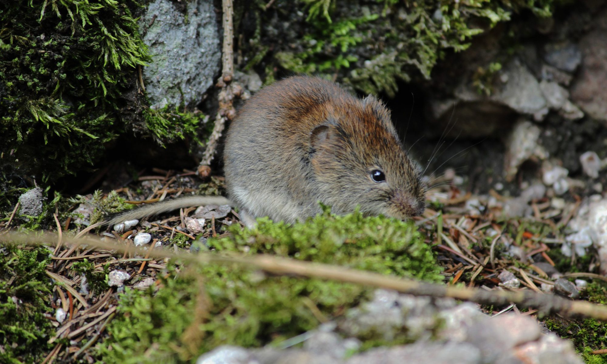
“Module 4” Field Techniques for Surveying Mammals & Reptiles
For protected species, you will need to gain substantial practical experience. A good base knowledge of habitats, tracks and identification will help, too.
Books:
Bats of Britain and Europe, Christian Dietz (author), Andreas Kiefer (author) https://blackwells.co.uk/bookshop/product/9781472963185
Collins Guide to Animal Tracks and Signs: The Tracks and Signs of British and European Mammals and Birds:
https://www.worldofbooks.com/en-gb/books/preben-bang/collins-guide-to-animal-tracks-and-signs-the-tracks-and-signs-of-british-and-eur/GOR001345562
Britain’s Mammals: A Field Guide to the Mammals of Britain and Ireland (WILDGuides)
https://www.hive.co.uk/product/Dominic-Couzens/Britains-Mammals–A-Field-Guide-to-the-Mammals-of-Britain-and-Ireland/17864721
Free Resources:
Dormouse Conservation Handbook
Froglife resources on reptiles and amphibians: (page)
- Note from Froglife: Please note: our Amphibian Survey Booklet and Reptile Survey Booklet are for volunteer and amateur use only. They are not intended for professional ecologists or developers.
Urban Tails – a handy guide to where you can see amphibians and reptiles, and what you might see in different areas.
Great Crested Newt Conservation Handbook
Check out our resources page, here: https://www.wild-ideas.org.uk/ecology-resources/